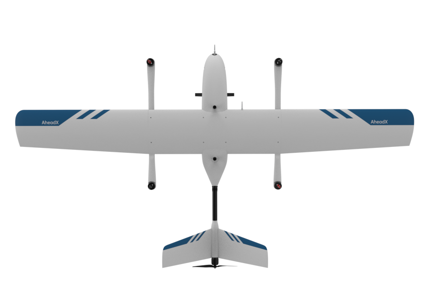
Powerful Flight Performance
From the aspects of structure, material and power, QP532 delivers long endurance, safe and convenient experience.
180min
Endurance
150KM
Voyage
4000m
Practical Ceiling
Level 6
Wind Resistance
Environmental Adaptability
QP532 can easily handle severe weather ranging from -20 ℃ ~ 50 ℃, it will accompany you day and night to everywhere in the world.
Quick Disassembly, Convenient Transportation
Quick disassembly structure design, portable transport case, quick operation.
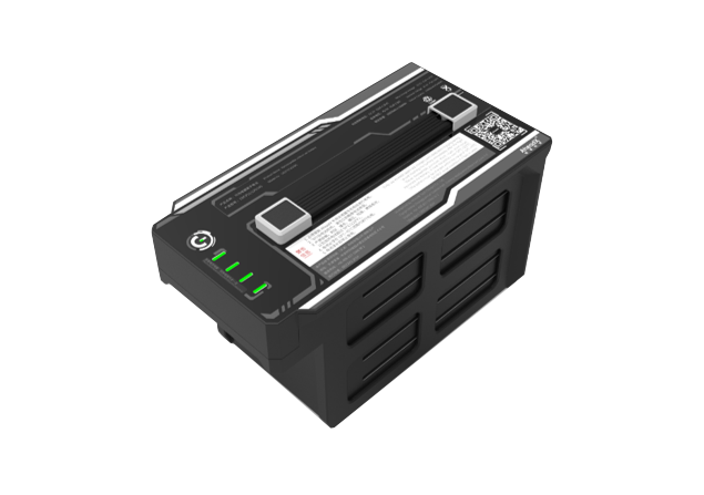
Smart Battery Management
Support self-heating, real-time monitoring of health status to eliminate potential safety hazards.
SOC
100
Voltage
48.2
Current
2.8
Health Status
100
Cycle No.
10
4.21
1
4.21
2
4.21
3
4.21
4
4.21
5
4.21
6
4.21
7
4.21
8
4.21
9
4.21
10
4.21
11
4.21
12
Safer Redundancy System
Redundant hardware design provides safer flight protection in extreme situations.
Omni Directional Safety Monitoring
Comprehensive monitoring of motor, servo, and structural status to prevent any problems that may occur.


- Motor Alarm
RPM, Voltage, PWM - Motor Self-test
1. Check if the propeller
is installed.
2. Detect whether the
motor is blocked
by foreign objects,
or is damaged.
- Motor Alarm
- Servo Alarm
Voltage, Current,
Temperature, PWM
- Structure Alarm
Loose Connection of
Airframe Structure Parts
Deep Integration of Multiple Payloads
SHARE camera, RIEGL lidar and other payloads are deeply integrated and ready to use.
SHARE 102S Five Lens Camera
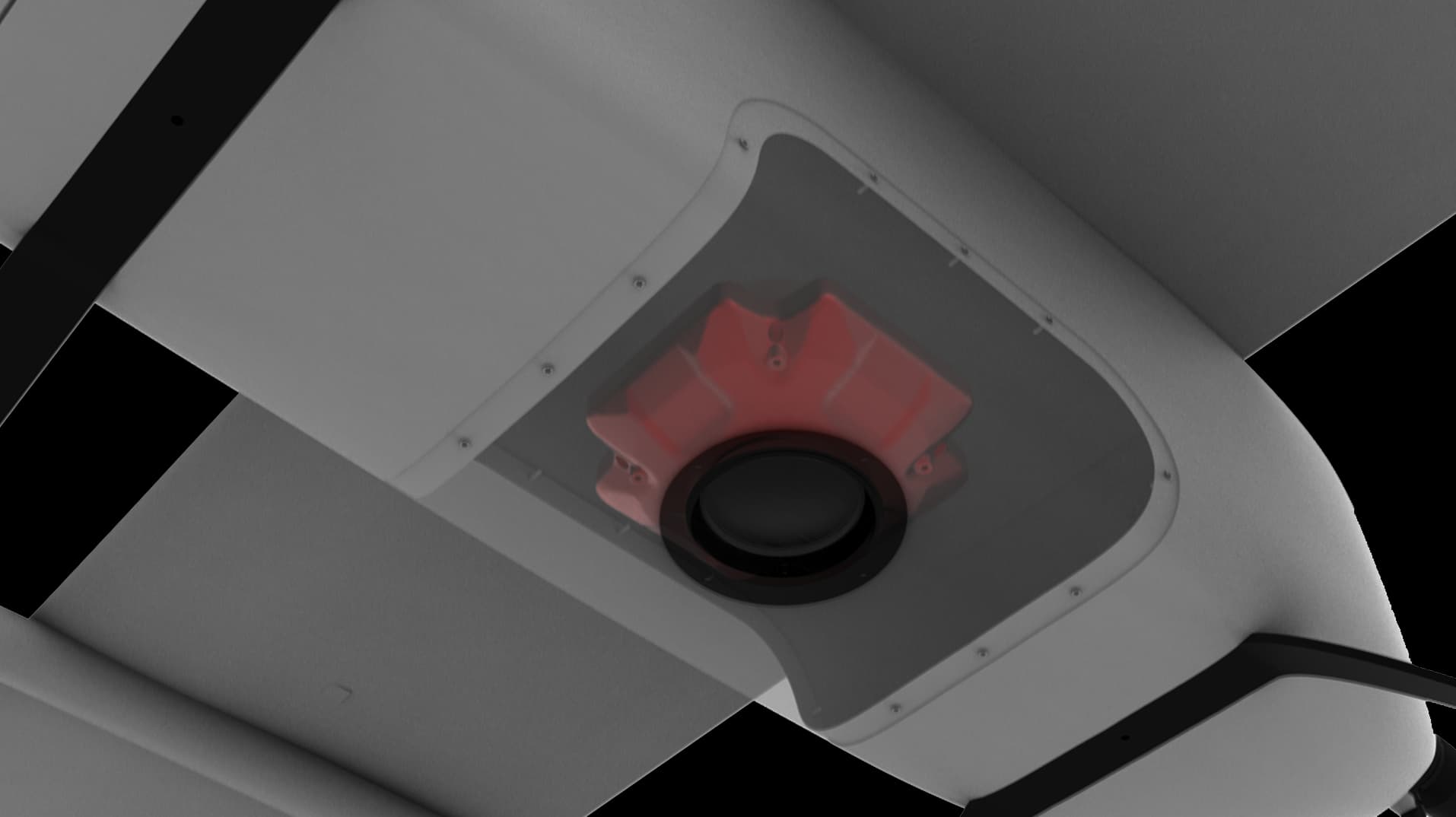
Focal Length: Ortho 25mm, Oblique 30mm
Effective Pixels: 24.3 million, total 120 million pixels
Image Resolution: 6000*4000
3D GCS, Easy to Use
3D map display, route planning, real-time elevation warning, one-click deployment of fully autonomous operations.
Galaxy Cloud Management System
Support team management, cloud monitoring, log replay, drone ownership/authorization management and other functions.
Cloud Monitoring. View drones' dynamic state anytime and anywhere, plan and control the overall situation.
Emergency Protection
Fearless of danger with a variety of emergency protection strategies.
Imitating Protection
When encountering obstacles such as hills during the flight, the drone will automatically climb to the height to avoid collision.
Mapping without GCPs
1:300 High image resolution, under the premise of no ground image control points, the error of the operation results is less than 2cm.
Oblique Photography without GCPs
Achievement Display 1
Intelligent Power Inspection
Equipped with lidar to realize fully autonomous inspection operations
Lidar is automatically turned on when entering the survey area / automatically shut off when it leaves the survey area.